One rider short
Jerry was part of the plan and remains integral to the group, but a minor fall at a previous motorcycle event resulted in a broken foot and surgery that kept him off this ride.
Planning archive · October 9–13, 2026
The plan behind five days through the backroads of Appalachia.
Explore the plan ↓The idea
The first three planned days followed a broad middle sweep of the Mid-Atlantic Backcountry Discovery Route. Two custom return days were designed to carry the ride over Reddish Knob and along Skyline Drive, ending where the truck and trailer waited near Charles Town.
Brett · Max · Andrew rode · Jerry planned to join
Plan versus road
Jerry was part of the plan and remains integral to the group, but a minor fall at a previous motorcycle event resulted in a broken foot and surgery that kept him off this ride.
A smoking trailer wheel bearing appeared about five miles from the staging point. The bikes reached Bill’s, but the failure put Day 1 several hours behind schedule.
Heavy rain saturated the off-road route. Two fallen trees forced the riders over one obstacle and through a ditch beneath the other.
Traffic made Skyline Drive the wrong choice. Local twisty roads toward Front Royal and along the Shenandoah River became the better finale.
The group
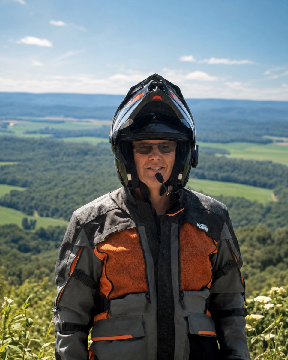
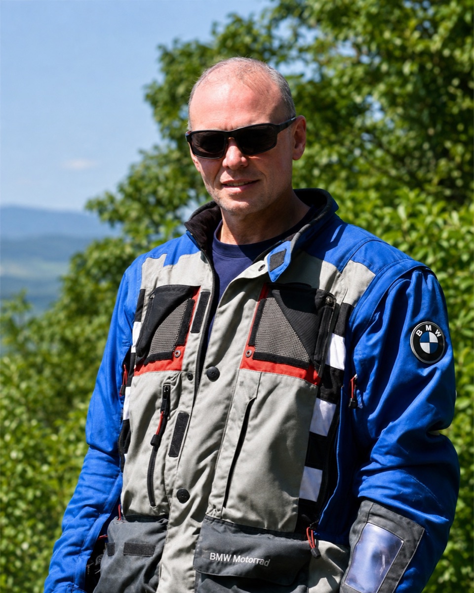
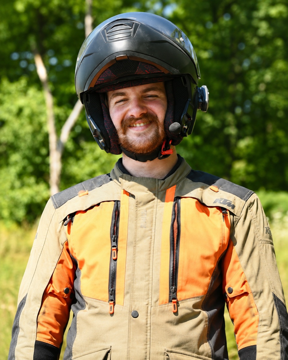
Brett, Max, and Andrew made the ride. Jerry had planned to join them but was sidelined while recovering from a broken foot.
 01
 02
 03
 04
The final planning route
Five color-coded tracks connected forest roads, mountain towns, meals, and four nights away. The map follows GPX version 18 while deliberately omitting exact private residence locations. It documents the intended route, including Skyline Drive, rather than every road ultimately ridden.
Explore the official MABDR ↗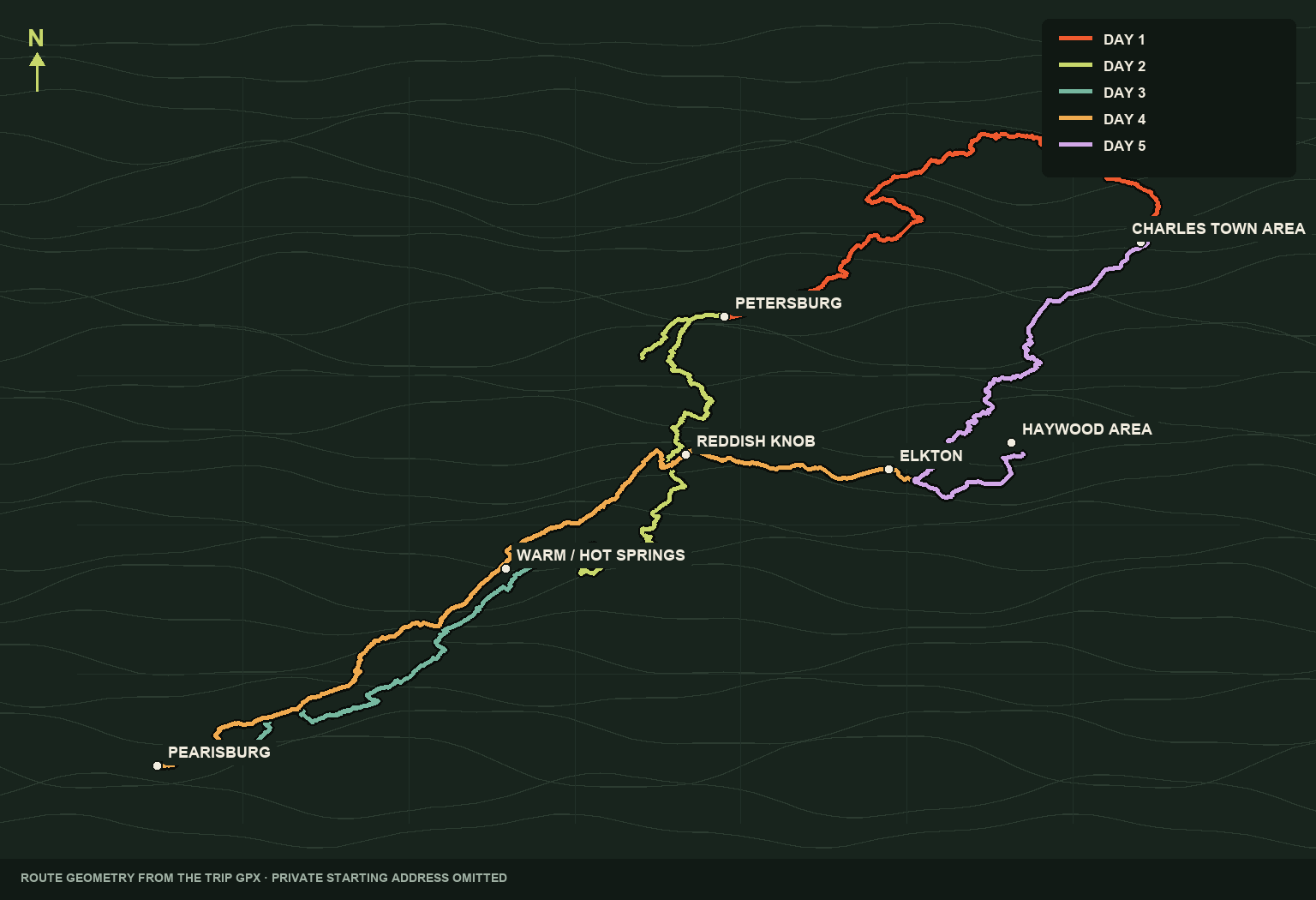
The intended itinerary
The final plan moved from established BDR tracks to a hand-built northbound connector, then proposed a high-road finale through Shenandoah. Each day now notes where the unfolding trip materially departed from that plan.
Friday · October 9
Charles Town area → Petersburg
The plan began near Charles Town, found the MABDR, and followed its middle sections southwest. Quiet pavement, the confirmed crossing of Oldtown’s toll bridge, and forest miles led toward Petersburg for the first night.
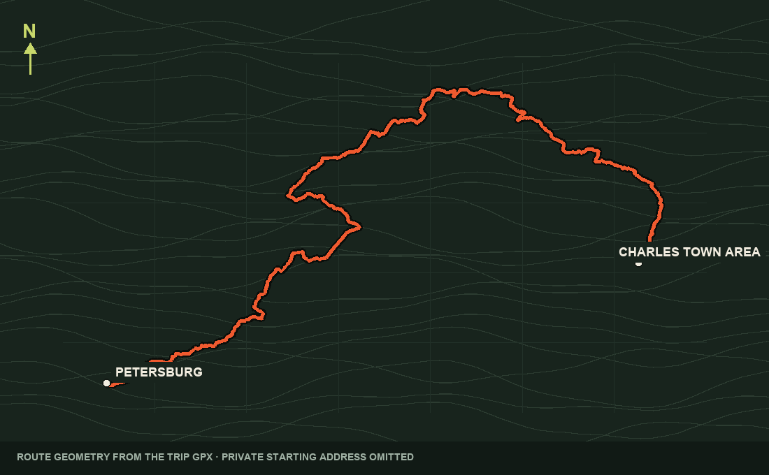
What the road addedReality intervened before the motorcycles were unloaded: a smoking trailer wheel bearing delayed the start by several hours. Schoolhouse Kitchen appeared in the original plan, but the group did not stop there.
Saturday · October 10
Petersburg → Warm Springs
The second stage continued south through high country and small mountain communities on MABDR Section MA3. North of Warm Springs, the group rode Hite Hollow—the MABDR’s optional harder alternate—before ending the day with craft-brewed beer and live music at Bacova Beer Company.
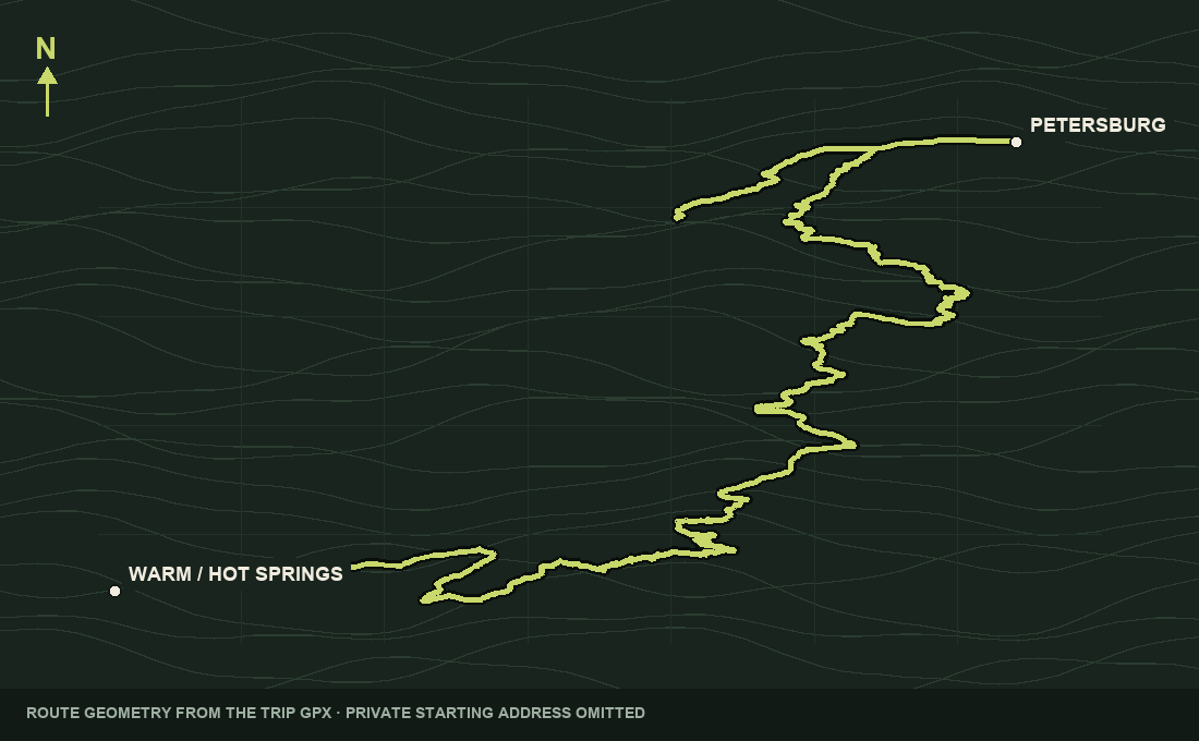
What the road addedThe lively Bacova taproom was a welcome change of pace after the day’s mountain miles, followed by the confirmed overnight at The RoseLoe Motel. BG’s in Craigsville appeared in the plan, but the group did not eat there.
Sunday · October 11
Warm Springs → Woods Hole Hostel
The intended line followed MABDR Sections MA2 and MA1 toward Pearisburg and Woods Hole Hostel. Overnight rain transformed the day: wet off-road riding and two fallen trees made this one of the trip’s most demanding chapters.
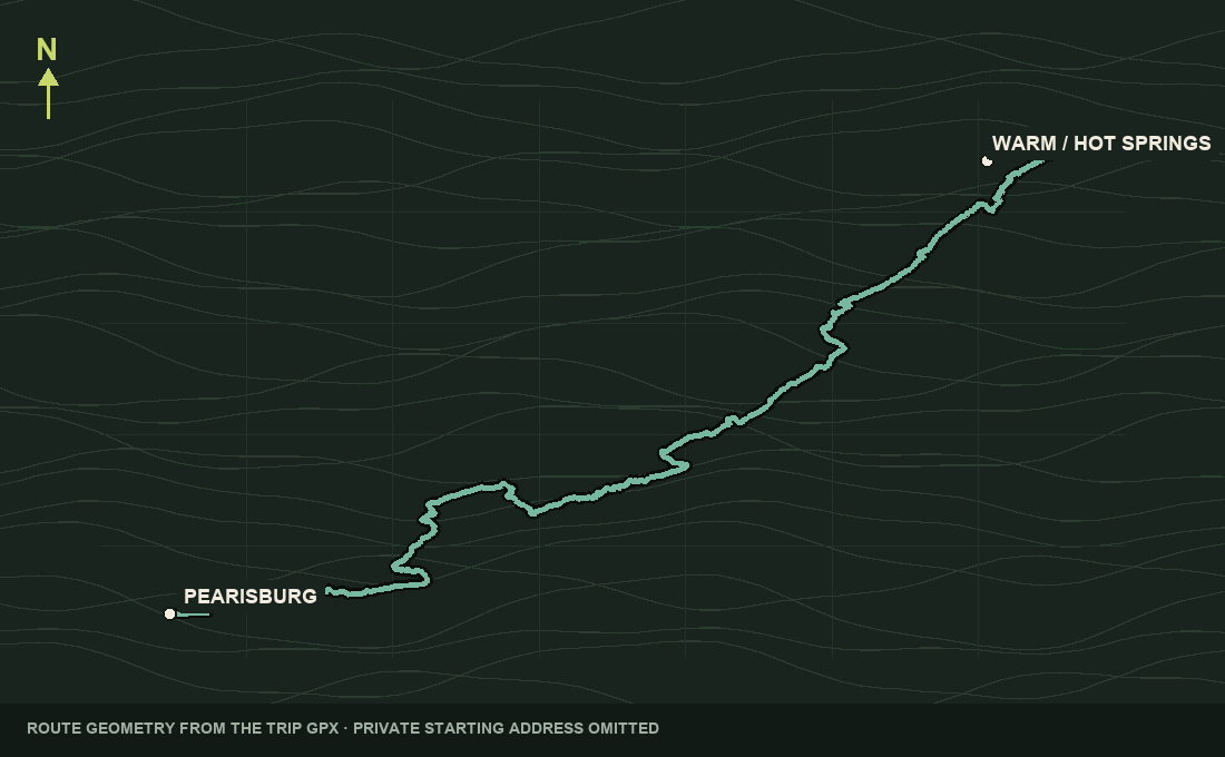
What the road addedThe group muscled the bikes over one tree, then used a roadside ditch to pass beneath another. Lighter rain followed them into Woods Hole. Paint Bank appeared in planning research, but it was not part of the ride.
Monday · October 12
Woods Hole → Haywood area
Leaving Woods Hole marked the departure from the official MABDR. The custom line pointed north through mountain and turnpike country to Reddish Knob, where the group reached the summit and took in the 360-degree scenic overlook, then continued toward the Elkton area and a family stop near Haywood.
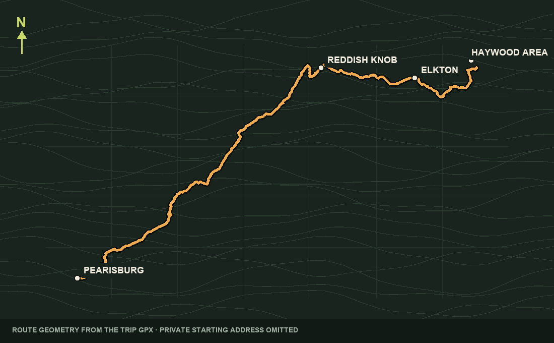
What the road addedReddish Knob is confirmed. Elkton is remembered as a likely pass-through without a stop.
Tuesday · October 13
Haywood area → Charles Town area
The GPX proposed a Skyline Drive finale through Shenandoah National Park. Excessive vehicular traffic changed the decision: the riders bypassed Skyline and chose local twisty roads toward Front Royal, finishing beside the Shenandoah River before returning to the trailer.
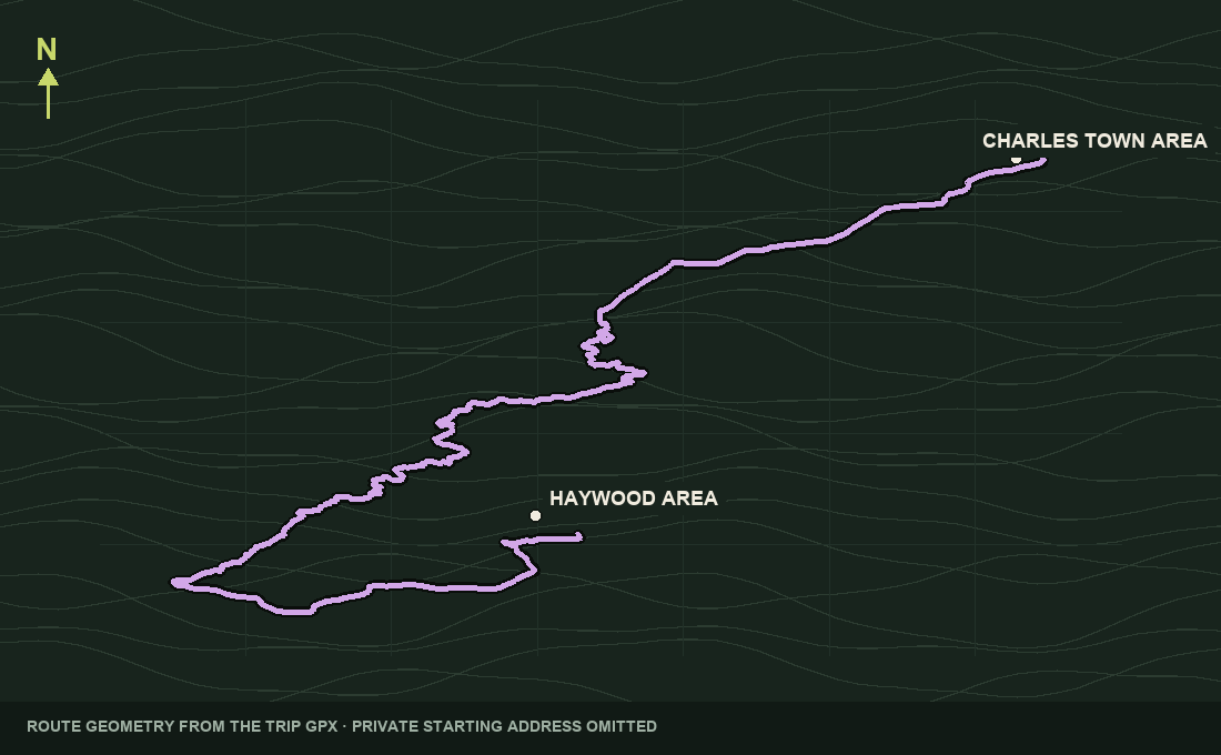
What the road addedThe downloadable planning GPX will remain labeled as the intended route. A privacy-safe actual track will be published separately if it can be reconstructed accurately.
Places with a past
Mountain geology, old turnpikes, small-town gathering places, trail culture, and public-land history sit beneath these waypoints. Confirmed visits and planning context are labeled separately.
Virginia · West Virginia · Maryland · Pennsylvania
The MABDR is the eighth Backcountry Discovery Route: roughly 1,100 miles of dirt, gravel, and quiet pavement from Damascus, Virginia, to Lawrenceville, Pennsylvania. This trip borrows its central sections, then turns them into a five-day loop.
Official route guide ↗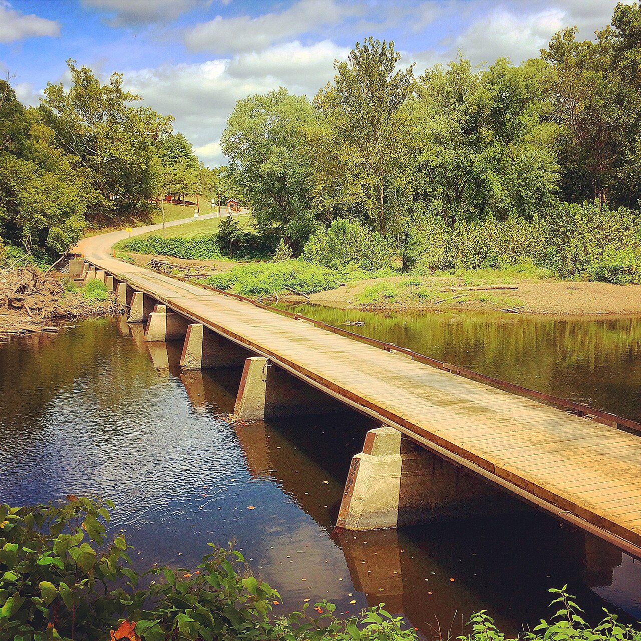
Maryland–West Virginia line
At Oldtown, the route crossed the North Branch Potomac River on a privately owned, single-lane low-water toll bridge. It is an unusual wooden-deck crossing and one of the Day 1 landmarks the group clearly remembers riding.
Bridge information ↗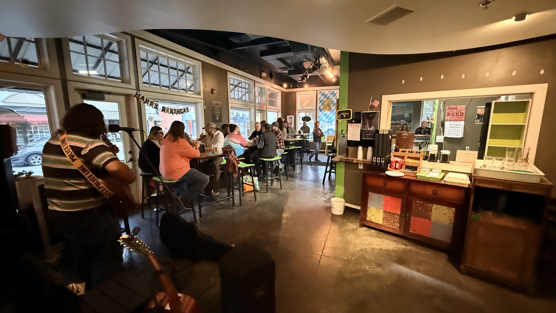
Hot Springs, Virginia · confirmed visit
Bacova is a small, family-run brewery with a five-barrel brewhouse and a mission to bring locally brewed beer back to the center of community life. For the riders, the taproom became the memorable finish to Day 2: craft-brewed beer, live music, and a fun evening together after Hite Hollow and a long run through the Alleghenies.
Visit Bacova Beer Company ↗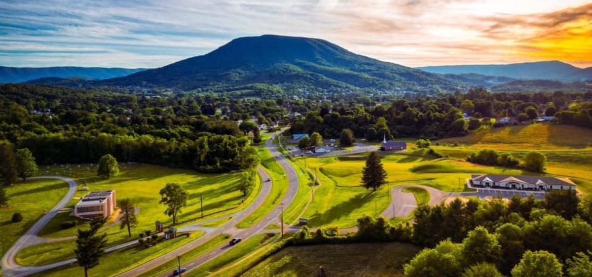
Giles County, Virginia
Pearisburg is a designated Appalachian Trail community where the footpath and New River country meet. Giles County holds long stretches of both the A.T. and one of the continent’s oldest rivers.
Virginia mountain towns ↗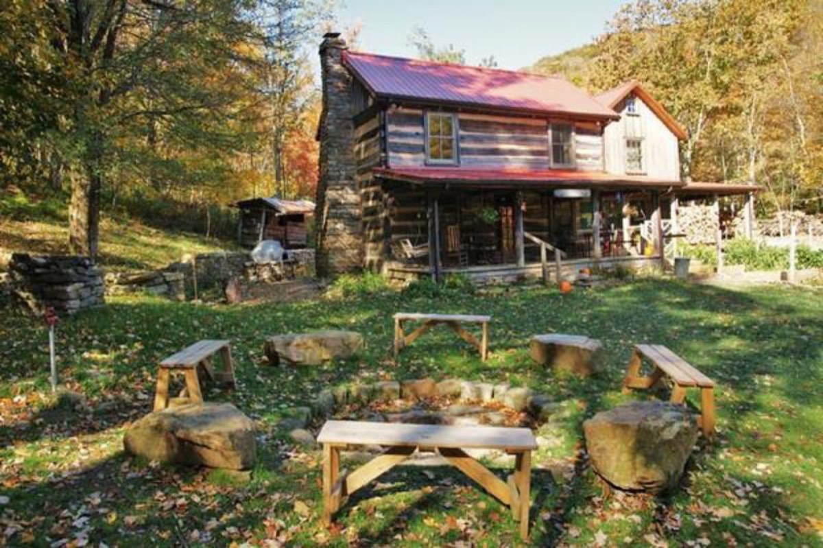
Near Pearisburg, Virginia
Roy and Tillie Wood found the 1880s chestnut-log cabin in 1939 and began welcoming Appalachian Trail hikers in 1986. It has become a beloved stop known for communal meals and generous hospitality.
Woods Hole Hostel & B&B ↗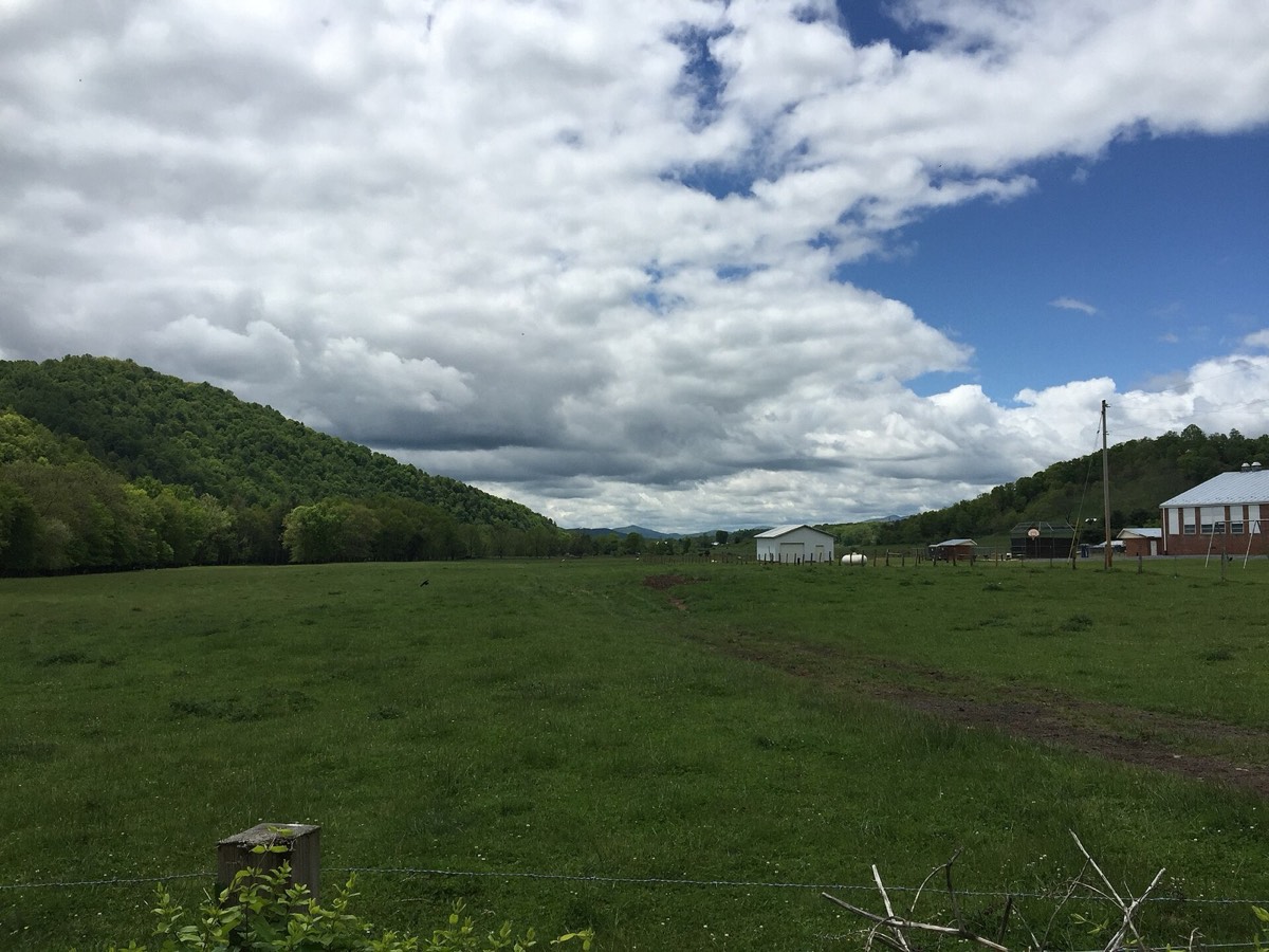
Highland County, Virginia
The village stands along the Staunton–Parkersburg Turnpike, engineered through the mountains beginning in 1838. Nearby hills became the scene of the Battle of McDowell on May 8, 1862.
National Park Service battle history ↗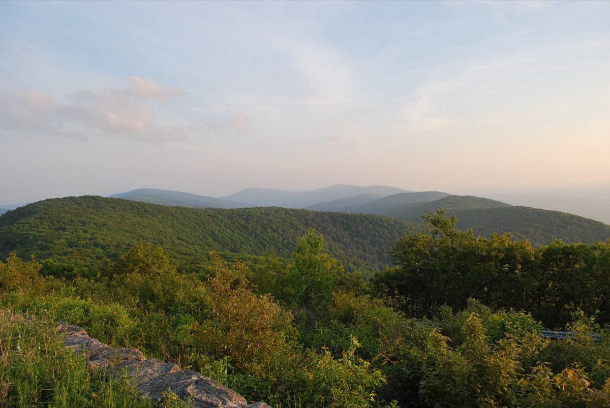
Virginia–West Virginia line · confirmed visit
At roughly 4,400 feet, Reddish Knob is one of the highest points in northern Virginia and a sweeping overlook within the George Washington National Forest. The group reached the summit and experienced its memorable 360-degree scenic view.
George Washington National Forest ↗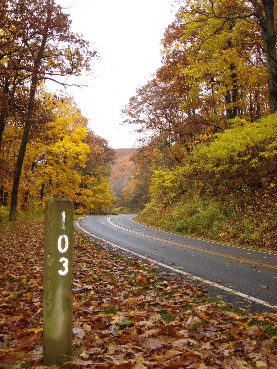
Shenandoah National Park · planned, not ridden
Proposed in 1924 and completed in 1939, Skyline Drive was shaped by Depression-era labor and Civilian Conservation Corps craftsmanship. It was intended as the trip’s finale, but the group bypassed it because of excessive vehicular traffic and chose local twisty roads toward Front Royal instead.
National Park Service history ↗Lessons from the plan
These planning notes remain useful to anyone studying the route. The trip also proved their central premise: weather, surfaces, traffic, and mechanical trouble can rewrite a day quickly.
The route belonged on every primary device with an offline backup. Current riders should download the newest official MABDR tracks rather than treating this 2026 archive as live guidance.
Latest BDR tracks ↗The plan allowed for a practical 130–150 mile range. Day 4 contained the longest exposed gap—roughly 100 miles—making fuel stops part of the route rather than suggestions.
Hite Hollow, Big Stony Creek Road, Reddish Knob access, autumn weather, and sunset times all required late checks. Day 3’s rain demonstrated how quickly an ordinary dirt road can become the day’s main challenge.
Current MABDR updates ↗Skyline Drive was the planned finale, but traffic prompted a local-road bypass. Anyone recreating the route should treat Skyline as an option, not an obligation.
Current park guidance ↗Cell service could be limited in Bath County and the national forests. The plan emphasized staying together and keeping the map usable without a signal.
Bath County travel notes ↗Woods Hole became more than an overnight: a beautiful mountainside setting, interesting people, homemade food and bread, garden vegetables, and a shared cleanup after dinner.
Woods Hole Hostel ↗Planning archive · October 9–13, 2026