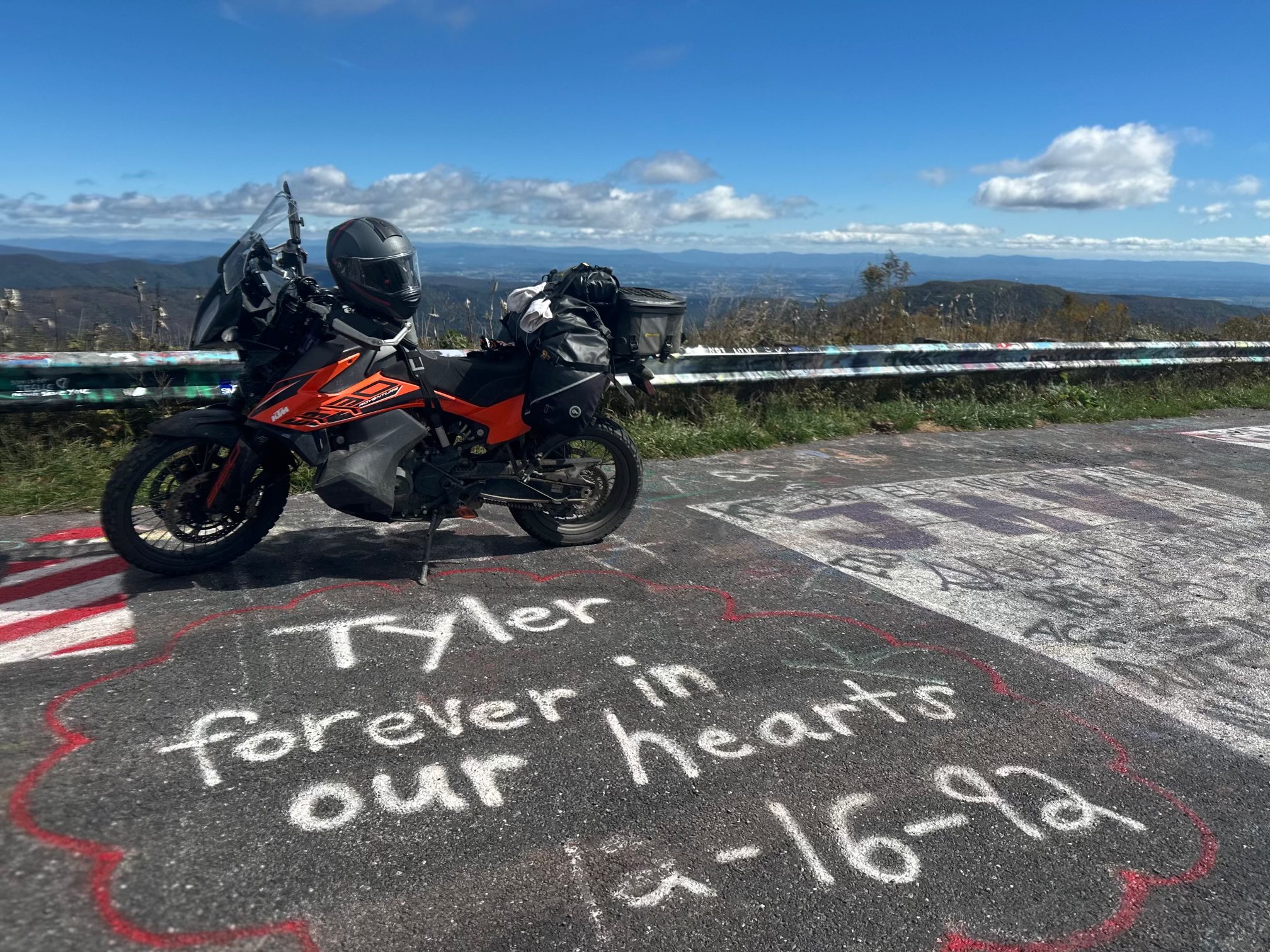
We built a five-day loop from the middle of the Mid-Atlantic Backcountry Discovery Route and a northbound return of our own. Brothers Brett and Max made the start with Brett’s son, Andrew. Jerry—an integral part of our group—had to sit this one out while recovering from a broken foot after a minor fall at an earlier motorcycle event.
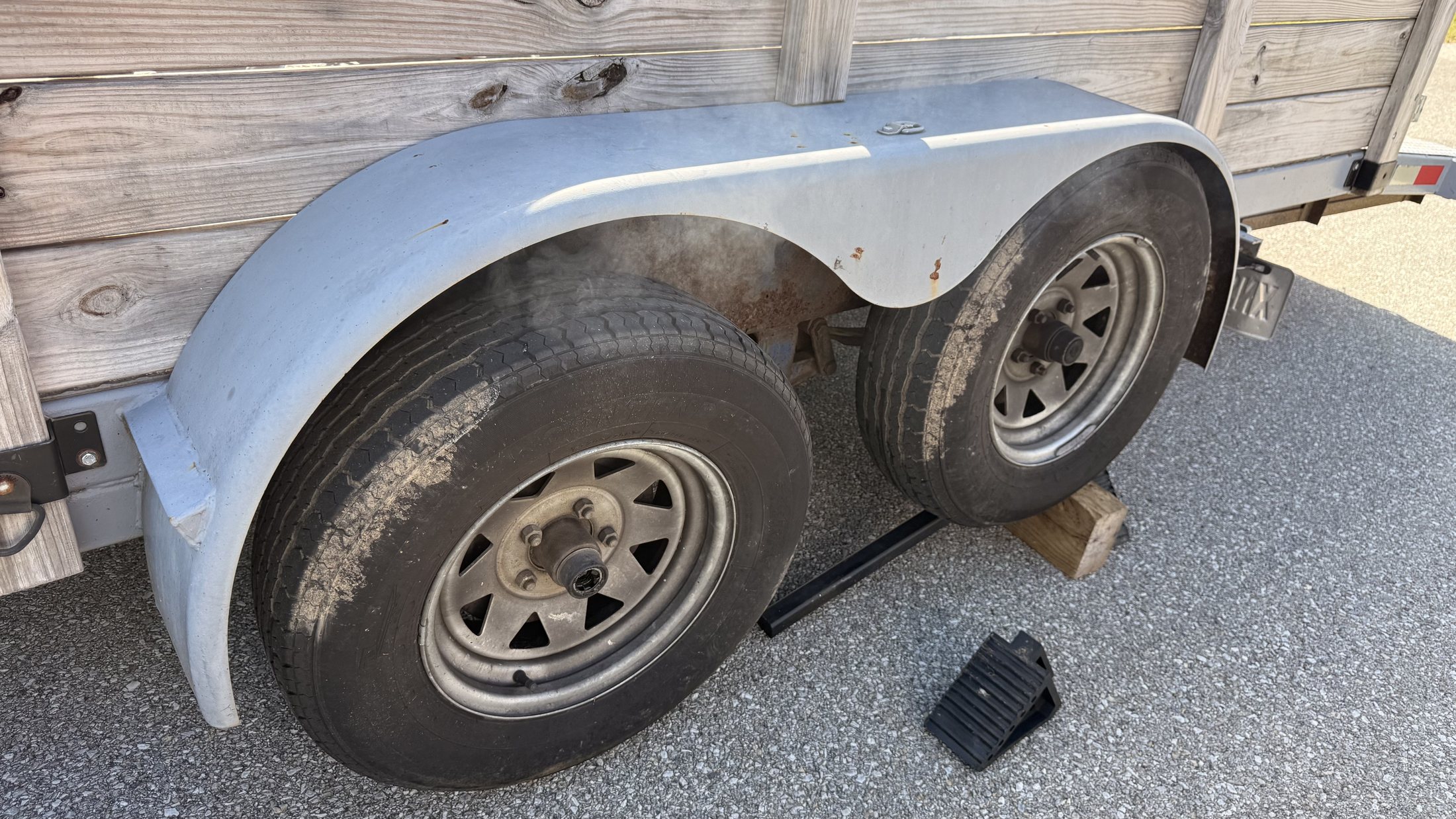
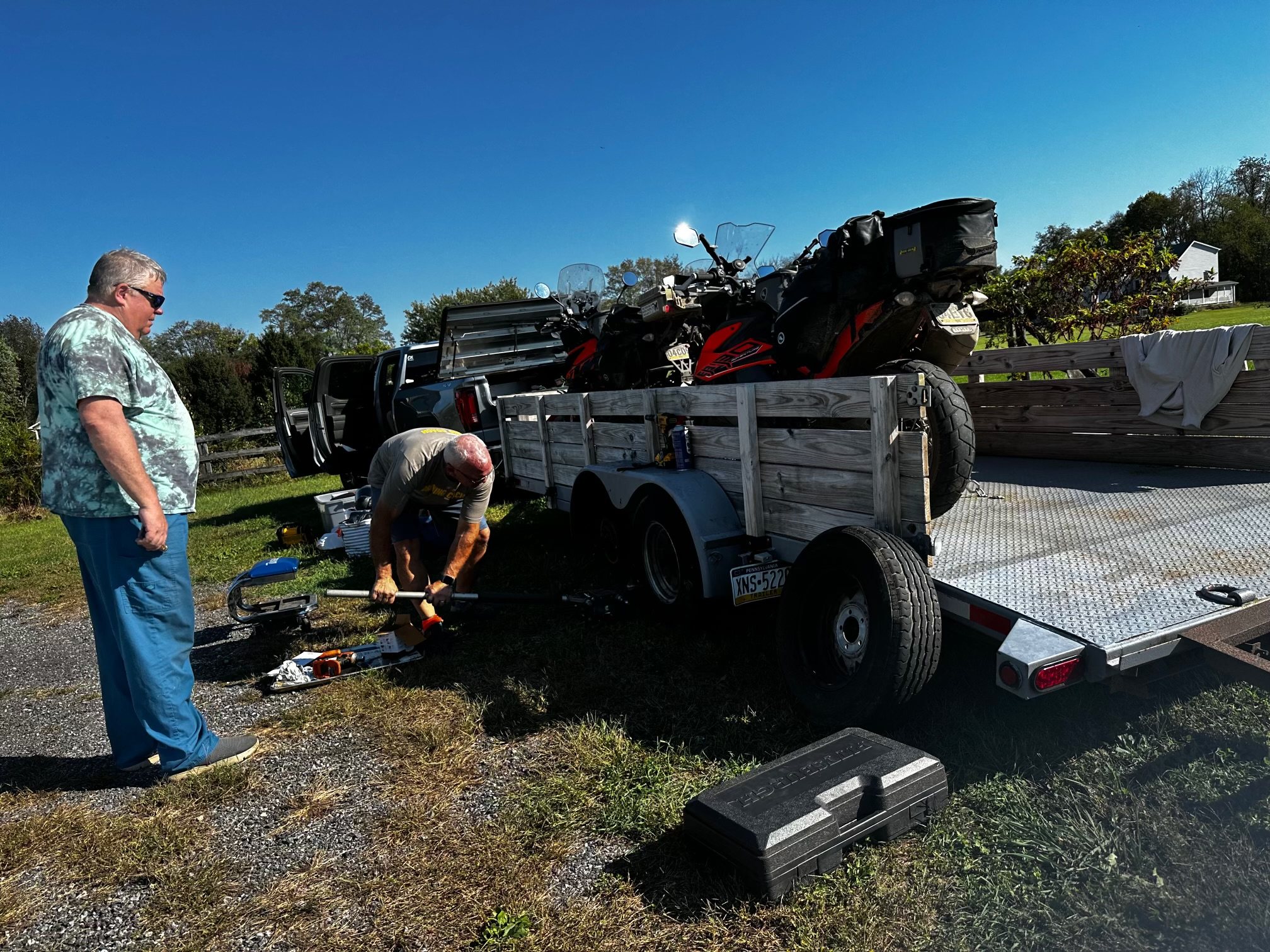
Then, before the motorcycles were even unloaded, a trailer wheel bearing began to smoke.
The first obstacle
Five miles from Bill’s.
We nursed the damaged trailer to Bill Smith’s house near Charles Town. The delay cost us several hours, but Bill’s generosity kept the trip alive: while we rode south, he bought the parts and began the repair. Five days later, Brett assembled the bearing and wheel, and the trailer was roadworthy again.
Hospitality became part of the route.
The group
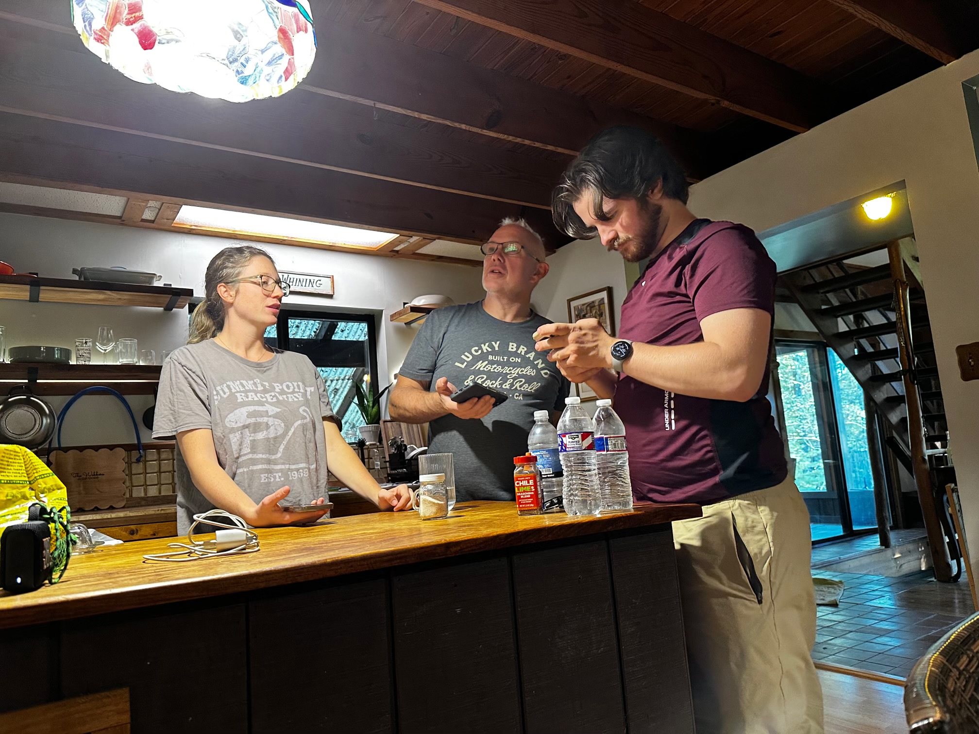
Four belong in this story.
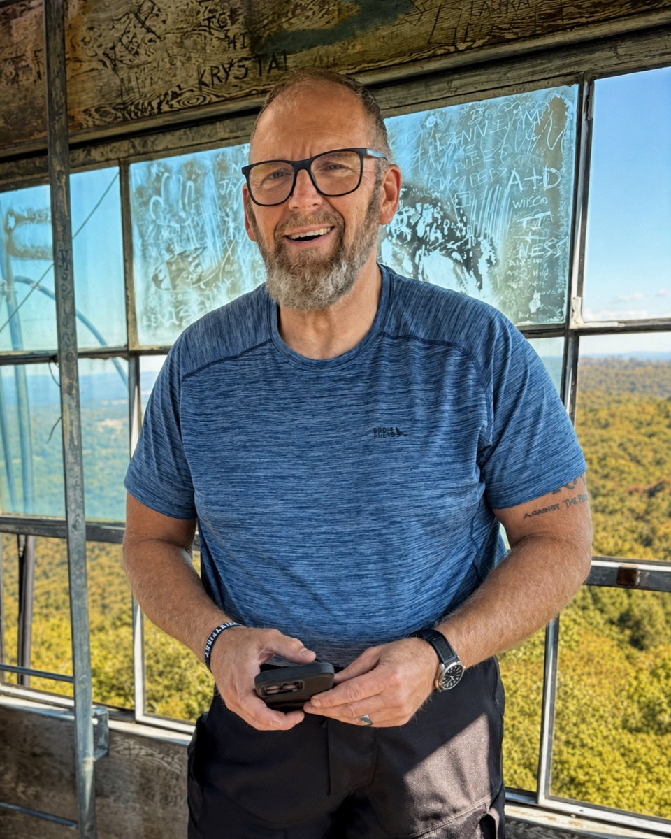
Three of us rode this loop. Jerry’s injury kept him home, but not outside the group—and not outside the adventures still to come.
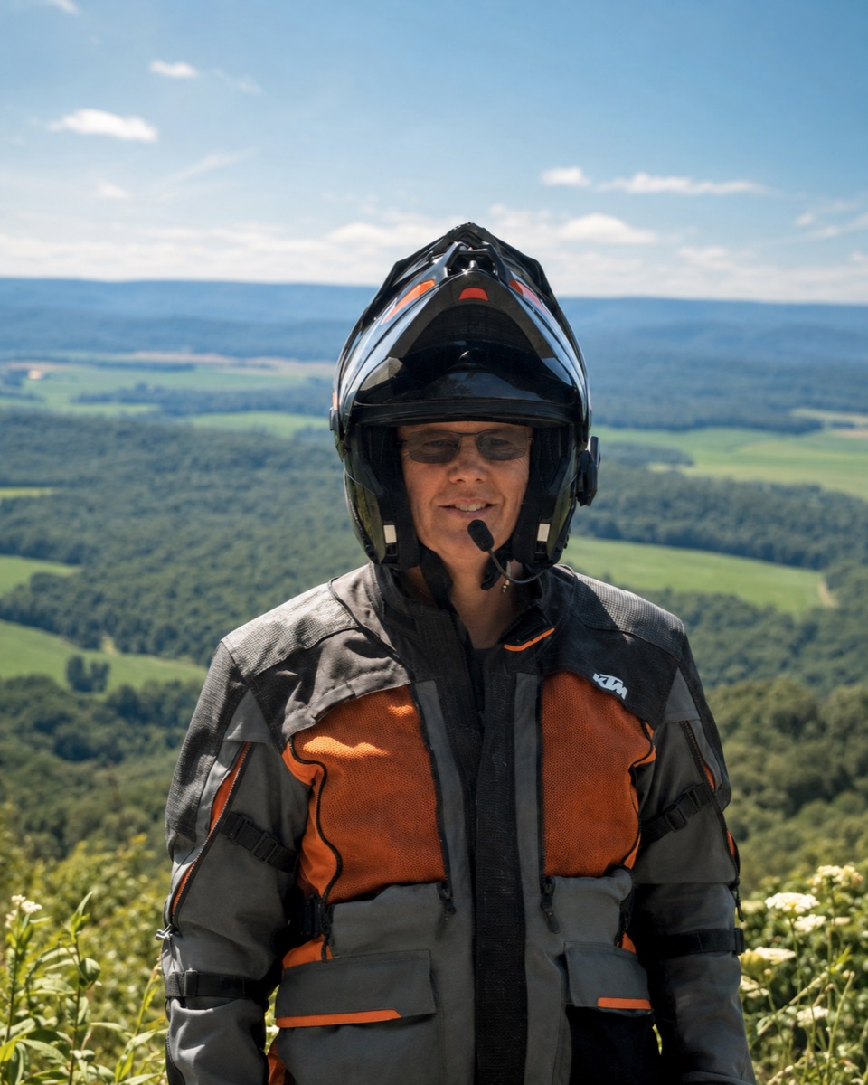
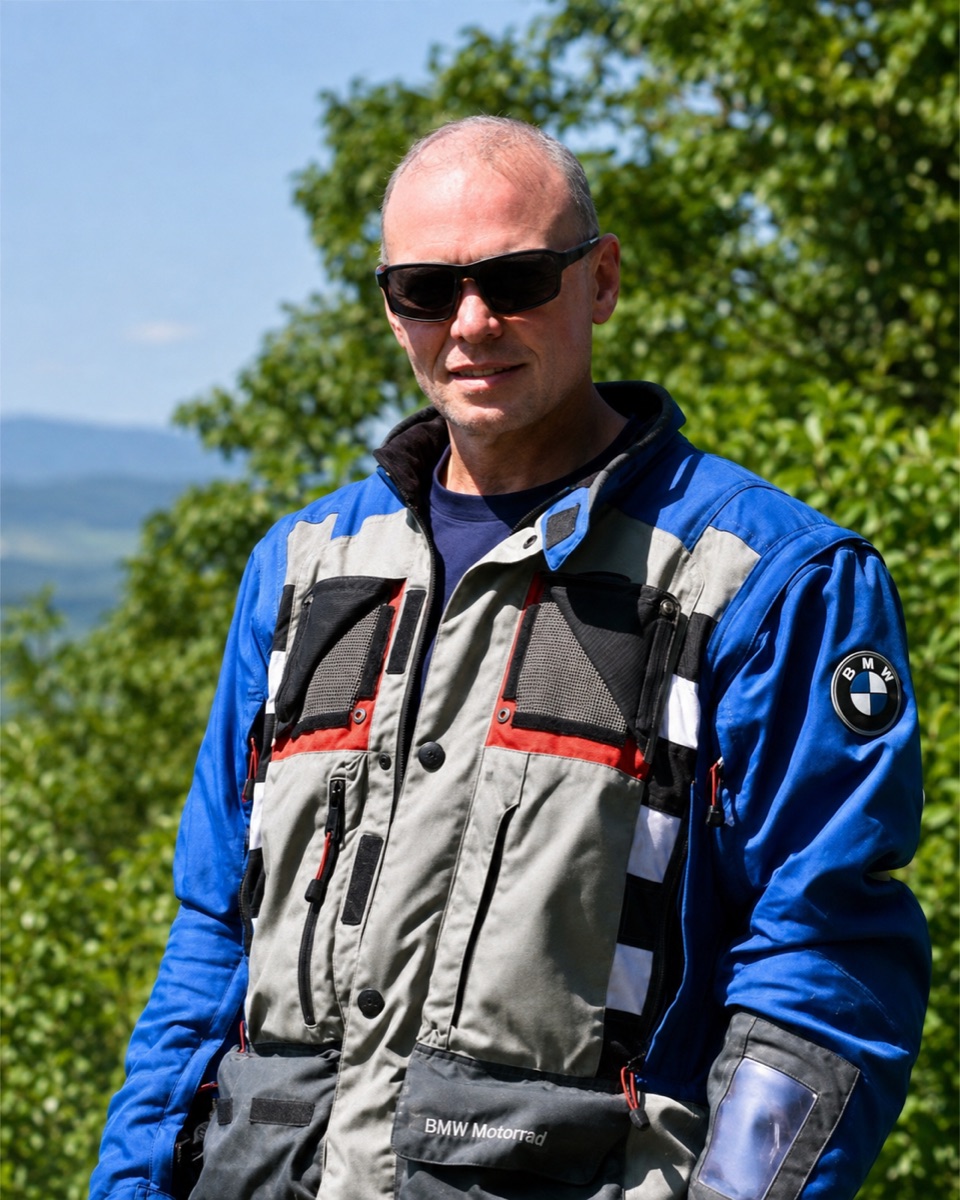
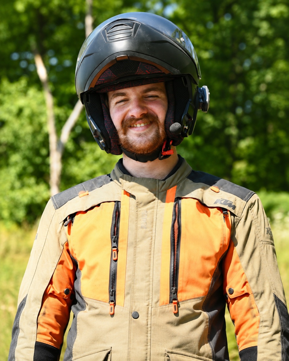
BrettMax’s brother · Andrew’s fatherMaxBrett’s brother · Andrew and Emma’s uncleAndrewBrett’s son · rode the complete loopJerryPart of the group · recovering from injury
South by BDR · North by design
A route with a turning point.
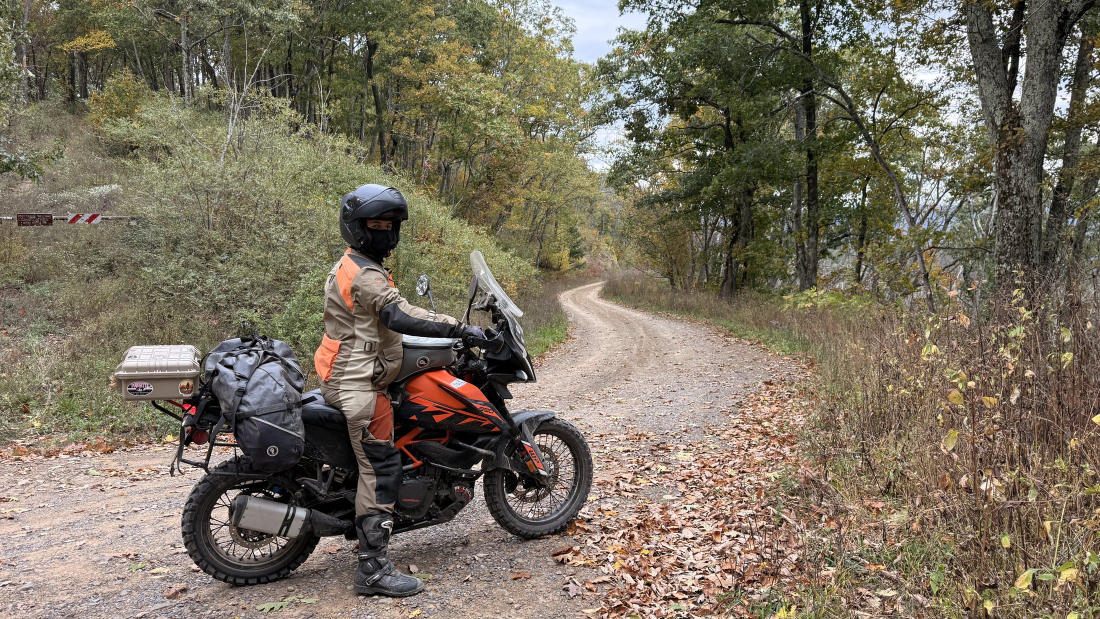
For three days we followed selected MABDR sections south. At Woods Hole we left the established route and turned north on our own line through Reddish Knob and the Shenandoah Valley.
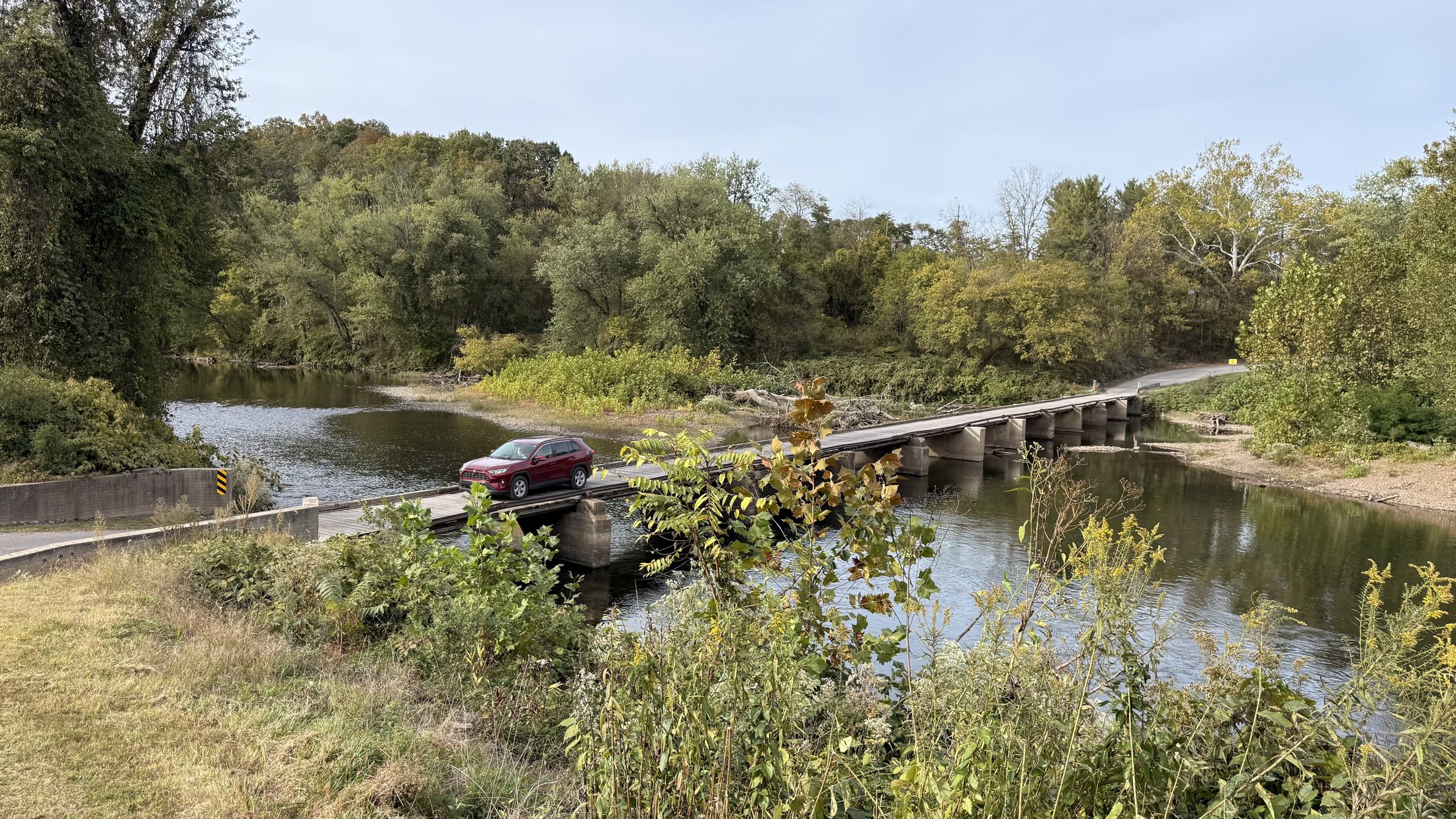
Our adventure tried to stop before it started. Five miles from Bill’s house, the trailer wheel began smoking. We hobbled the final miles, unloaded several hours late, and set off while Bill tracked down parts. The Oldtown Toll Bridge carried us across the Potomac and into the first long miles south.
02
Petersburg → Hot Springs, Virginia
Saturday · October 10
Hite Hollow, then a different kind of noise
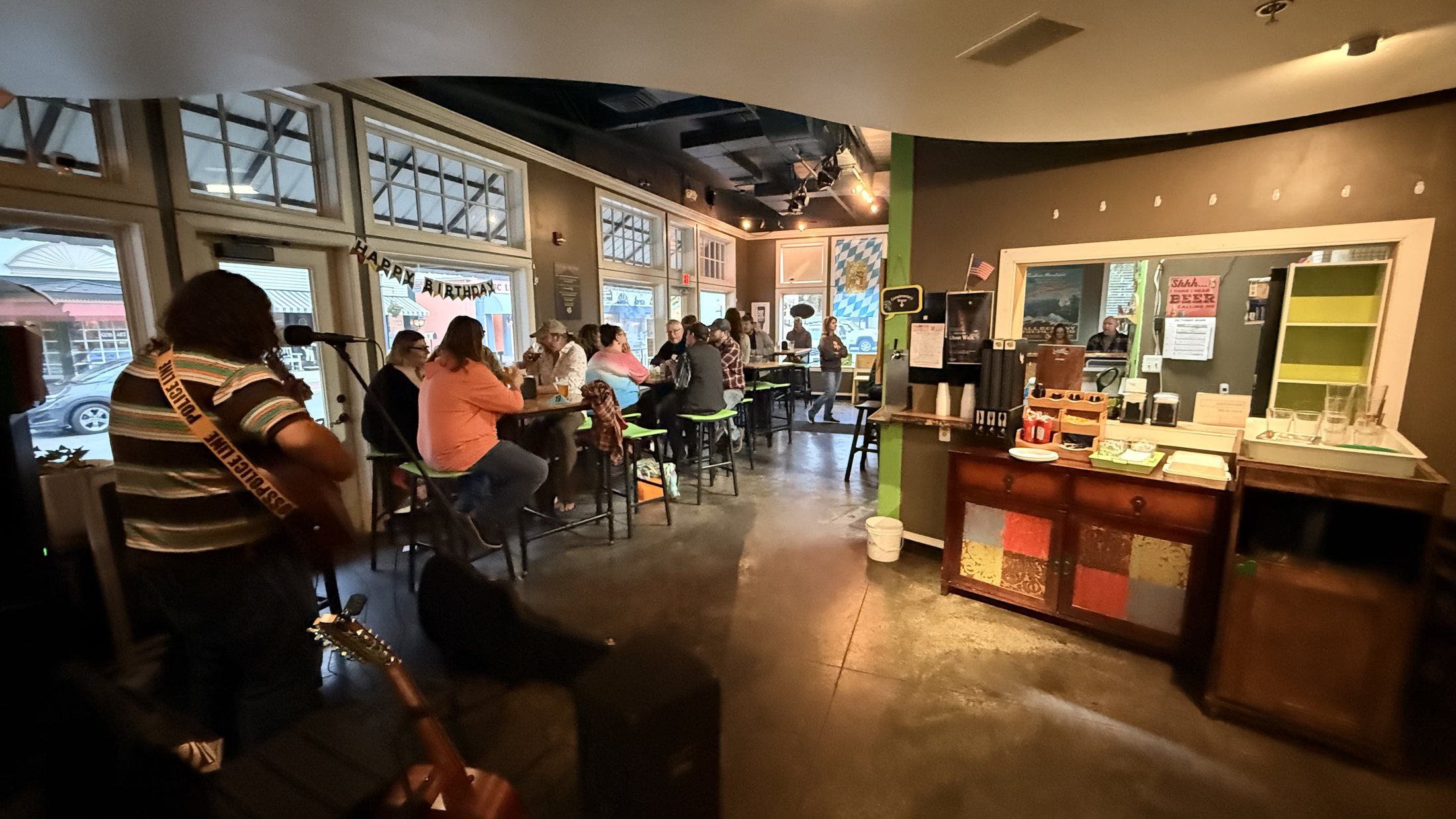
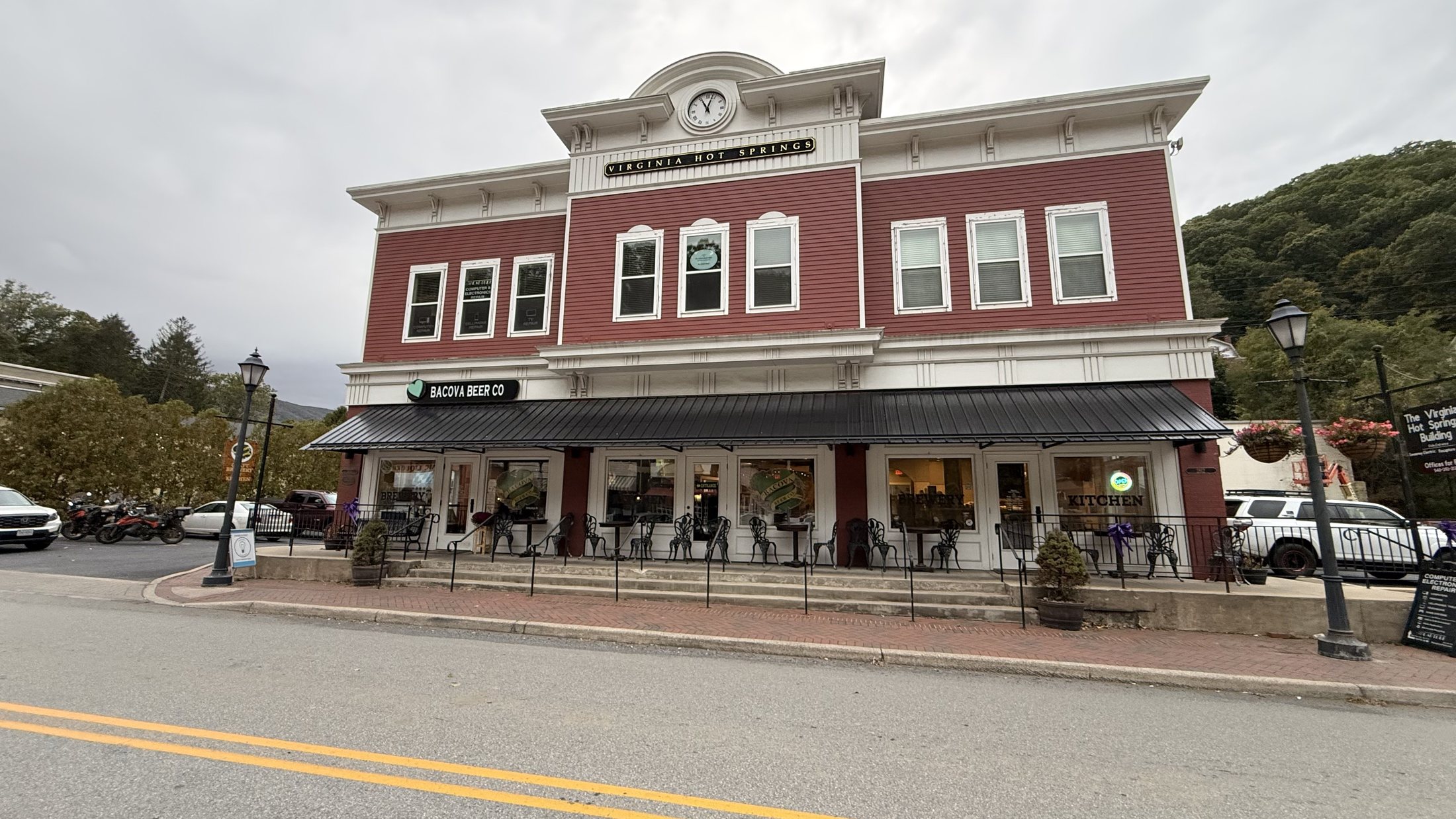
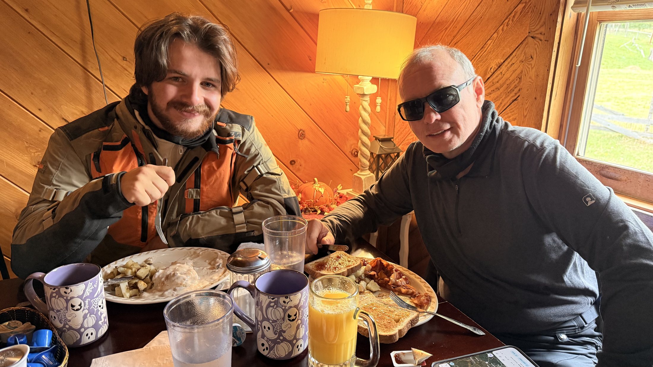
Breakfast at Brandy Wine Family Dining on US 33 gave us a full start before we followed the MABDR through the Alleghenies and committed to the harder Hite Hollow alternate. After its dirt, rock, and tight mountain miles, Bacova Beer Company gave us the perfect counterpoint: locally brewed beer, live music, and an easy evening together before turning in at The RoseLoe Motel.
03
Hot Springs → Woods Hole Hostel
Sunday · October 11
Rain, timber, and a warm table
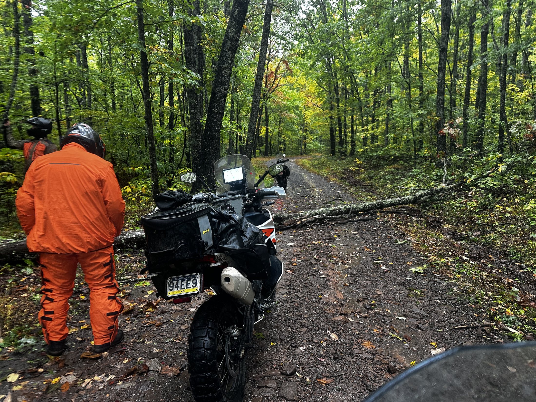
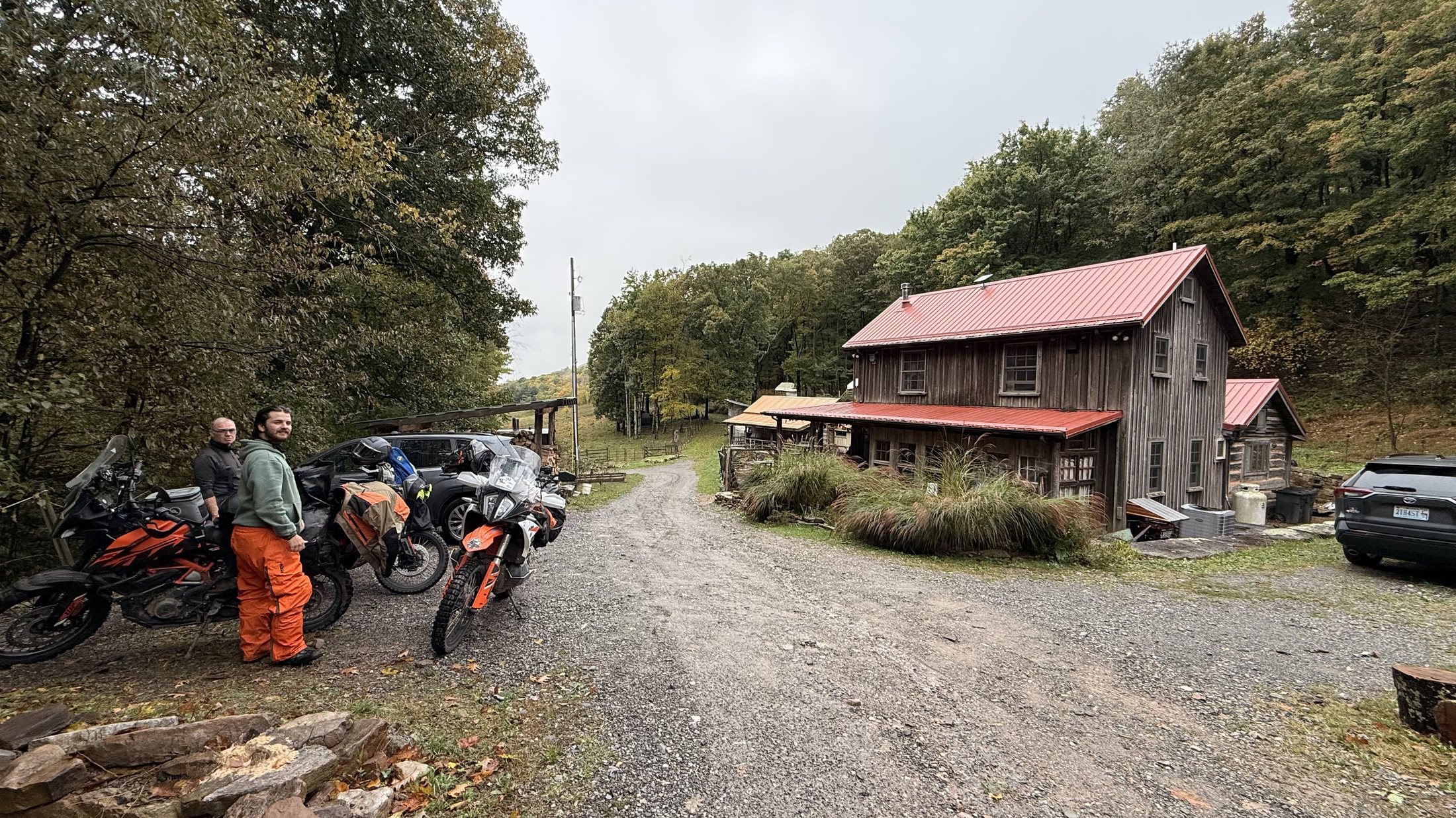
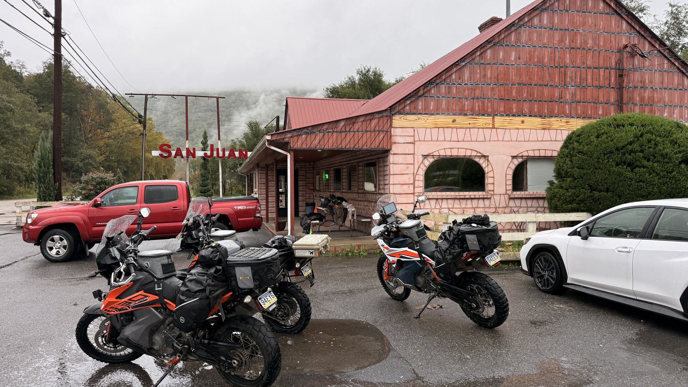
Heavy overnight rain left the backroads saturated. We used a brief morning break to pack, then spent the day riding through intermittent rain. One fallen tree had to be muscled over; another forced us into a ditch to pass beneath it. Lunch at San Juan Mexican Restaurant in Covington gave us a welcome pause before Woods Hole waited on the mountainside with Neville, hikers, homemade bread, garden vegetables, and the kind of shared meal that stays with you.
04
Woods Hole Hostel → Haywood area
Monday · October 12
North by our own design
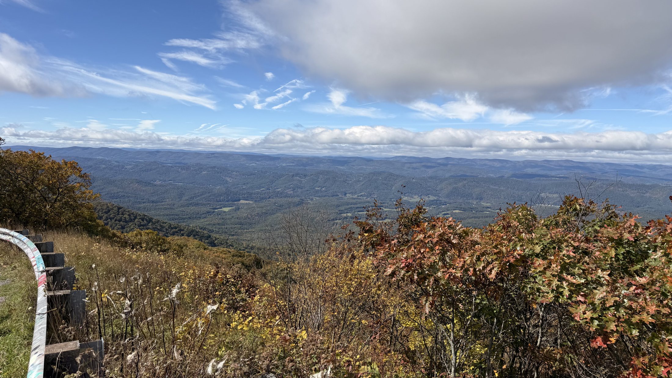
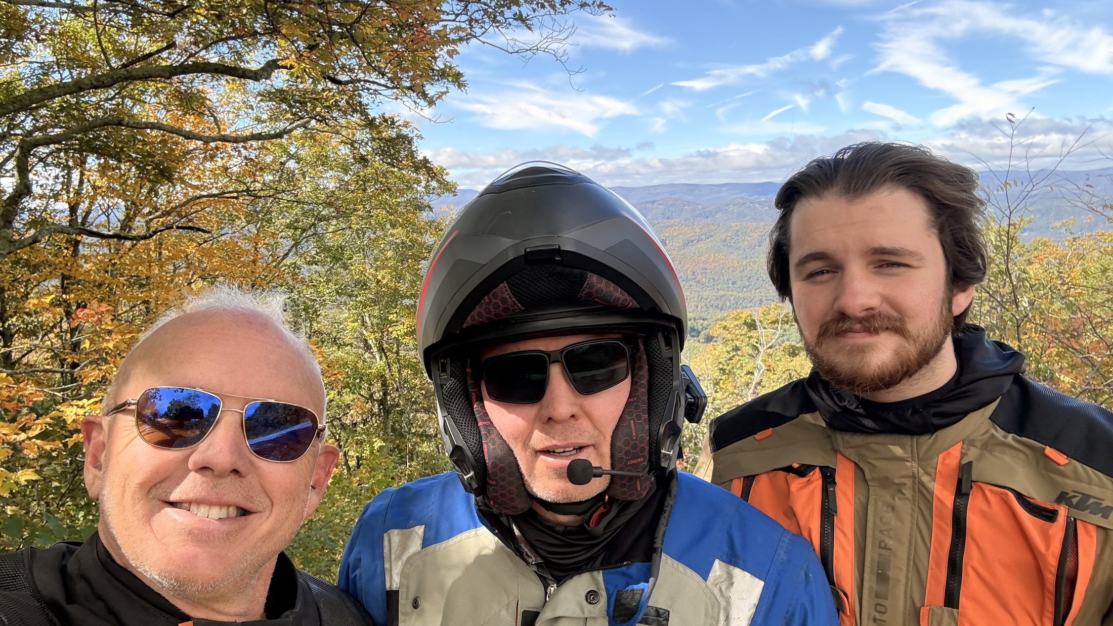
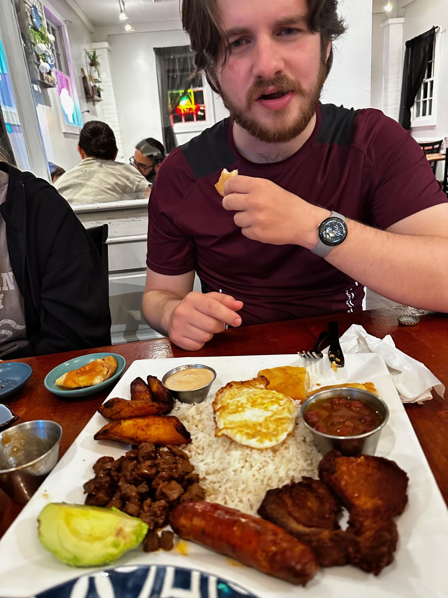
Woods Hole marked our turn away from the official MABDR. From there, the route was ours: a long custom connector north through mountain country and up to Reddish Knob. At roughly 4,400 feet, the summit opened a full 360-degree view before we descended to the Haywood area, where we stayed overnight with Brett and Max’s niece Emma and her husband, James. Dinner at Los Brothers Restaurant in Madison closed the day around a very full table.
05
Haywood area → Charles Town area
Tuesday · October 13
The road chosen instead
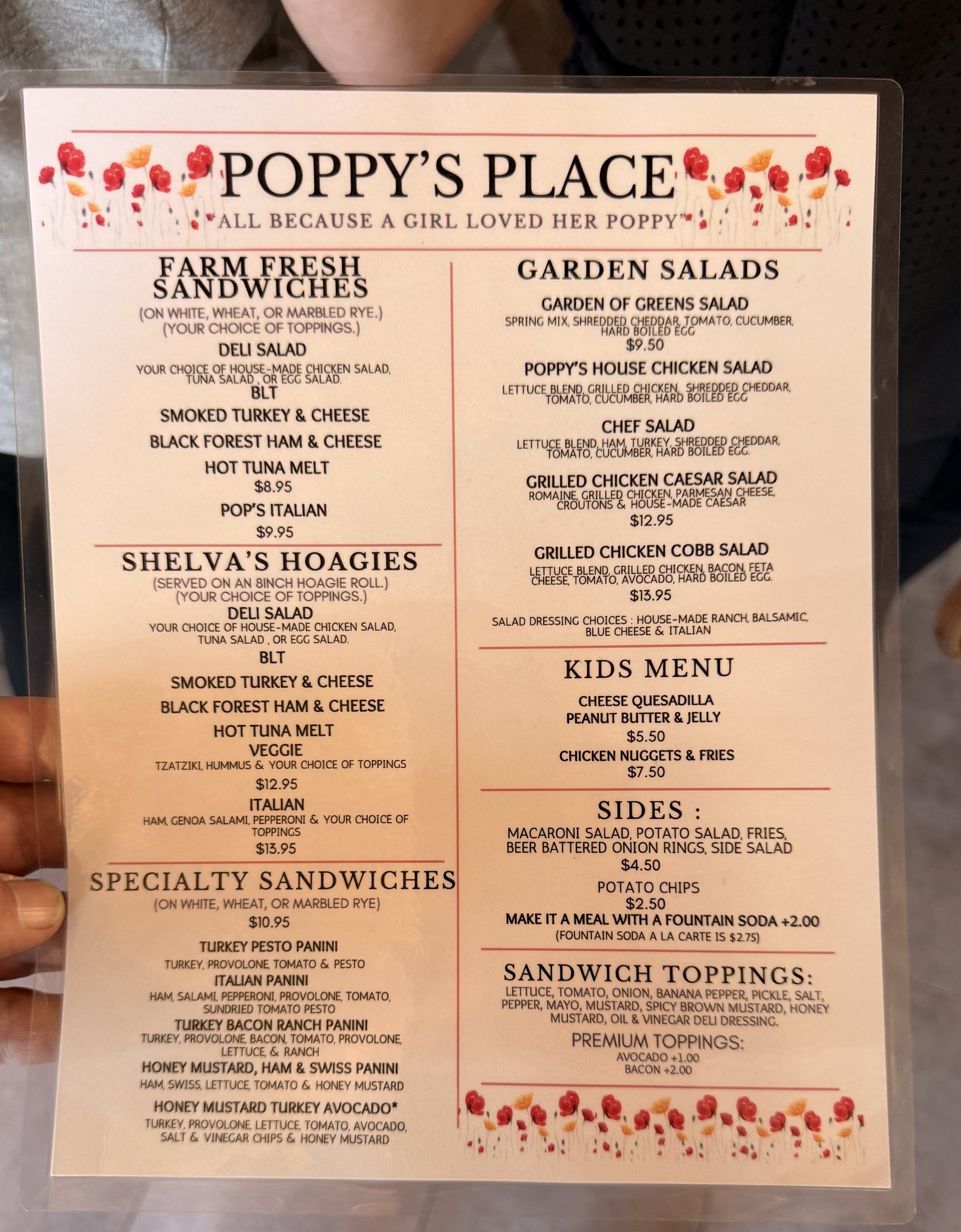
Skyline Drive was drawn into the plan, but heavy traffic made the choice for us. We left Emma and James’s home, skipped Skyline, and found something better for that day: local twisty roads toward Front Royal, a stop at Poppy’s Place, then beautiful curves beside the Shenandoah River. Back at Bill’s, Brett completed the bearing and wheel assembly while Bill stood by after sourcing the parts and beginning the repair. With the trailer roadworthy again, we finally completed the loop home.
Rain turned ordinary roads into consequential ones.
Over one tree. Under another. Onward.
Places along the line
The road has a backstory.
Some places were destinations. Others were crossings, turning points, or a plan we deliberately changed.
01
The southbound backbone
Mid-Atlantic BDR
The MABDR is an approximately 1,100-mile backcountry route linking quiet pavement, gravel, dirt, and forest roads from Virginia to Pennsylvania. We followed selected middle sections south before designing our own way home.
This privately owned, single-lane wooden-deck bridge crosses the North Branch Potomac between Maryland and West Virginia. Its low, intimate crossing became one of our clearest Day 1 landmarks.
A small family-run brewery in Hot Springs, Bacova gave a long riding day an entirely different finish: local beer, a lively taproom, and live music shared together.
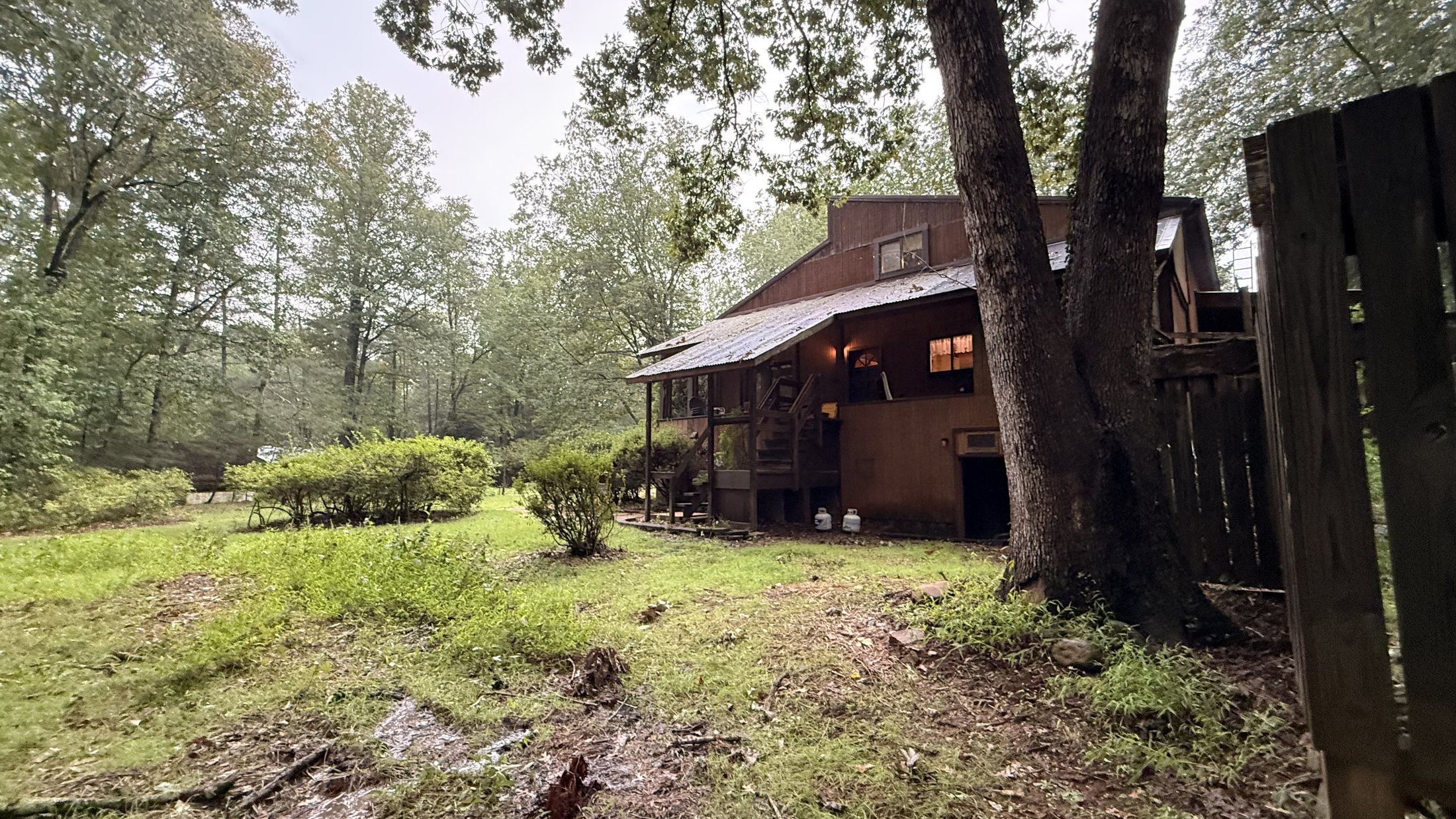
The restored chestnut-log homestead has welcomed Appalachian Trail hikers since 1986. We met Neville, stayed in the Garden View Room, shared dinner and breakfast with hikers, and helped clean up afterward.
At roughly 4,400 feet on the Virginia–West Virginia line, Reddish Knob opened the 360-degree Appalachian panorama that became the visual high point of our custom route north.
After the long custom route north and our arrival at Emma and James’s home, Los Brothers Restaurant in Madison gave us a generous Latin American dinner and an easy finish to the day.
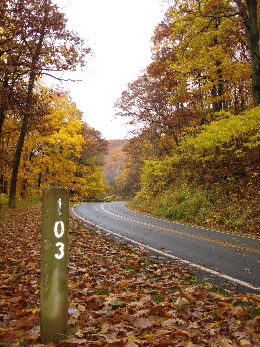
Built through Shenandoah National Park during the 1930s, Skyline Drive was intended as our finale. Excessive traffic led us to bypass it for local twisty roads toward Front Royal and along the Shenandoah River.
An original Appalachian folk song drawn from the route, the rain, the people who helped us, and the roads that changed the plan.
Original trip songVersion 1 · 4:42
Ready to play0:00 / 4:42
LyricsTap any chapter to listen from there
The complete album
Every frame. A different mile.
The strongest images carry the main story. All 109 photographs are arranged below in edited trip order and can be filtered by chapter. Open any photograph to begin the automatic slideshow, use the arrows to move at your own pace, and listen to “Five Days Through the Mountains” as the soundtrack.
Ride it yourself
Take the route. Make it yours.
Download the planning GPX used for this trip. It includes Skyline Drive, which we ultimately bypassed because of excessive traffic. Conditions, closures, surfaces, and access can change—compare it with current BDR and park guidance before riding.